
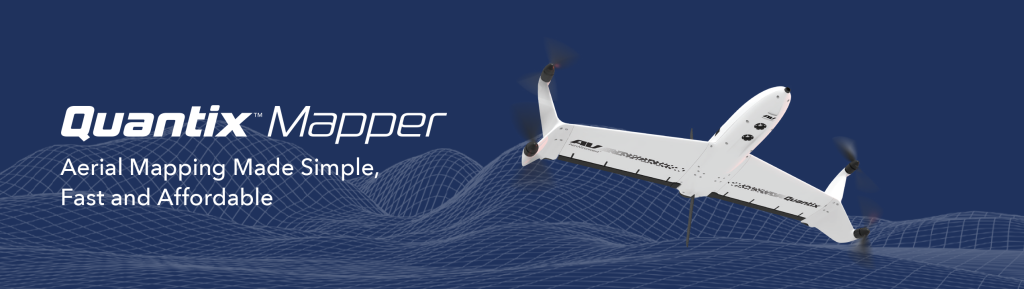
QUANTIXTM MAPPER
Quantix is a powerfully simple to use UAV empowering users through its fully-automated operation and instant insight. Its hybrid design allows the aircraft to launch vertically and transition to horizontal flight; maximizing aerodynamic efficiency and range. Users can immediately view high resolution imagery on the included Operating Tablet – no other devices, internet or additional software required. With the touch of a button, users can quickly and safely generate up to date maps for in-field assessment. Whether assessing crop growth during key stages, or damage from storm, flood and fire, Quantix Mapper makes It easy to gather accurate images across a large area, assess and react to situation with precision and speed
- Cameras: Simultaneously collects high-resolution RGB & Multispectral
- Range: 2 km Radio Limit
- Dimensions: Wingspan > 97.5 cm
- Communication: 900 MHz Encrypted & Wifi
- Navigation: Fully Automatic Navigation